Why Western Towns Gather Along Waterways
Learn why Western towns gather along waterways by distinguishing rivers, springs, canals, and reservoirs—and see how each shaped settlement patterns.
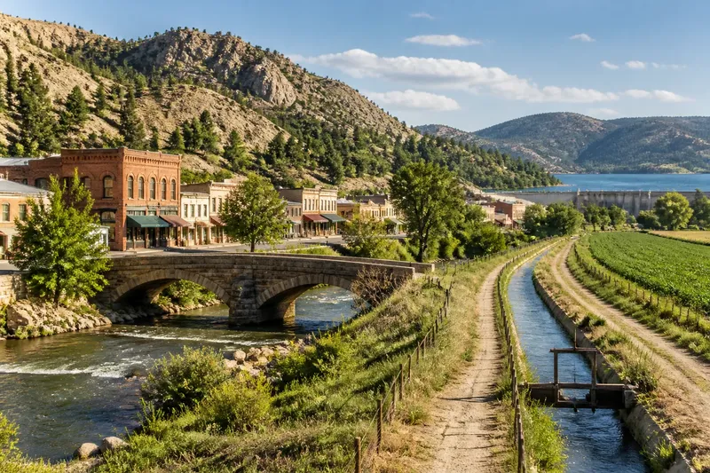
Why Western towns gather along waterways becomes clear when you compare the water source with the settlement’s earliest needs. A river crossing, dependable spring, or irrigation diversion could support a town in dry country, while later reservoirs and landscaped banks may have changed the view without causing the original settlement.
The useful distinction is between water that sustained a community and water infrastructure built to manage it. That difference helps explain why a town might stand beside a creek, draw from a spring farther away, or depend on a canal that runs through its fields.
Different water sources supported different kinds of settlement
A river could provide water, a crossing, and a route through a valley. Towns often grew near a ford or bridge, where travelers and goods had to pass; the channel mattered not only as a resource but as a point of connection.
Springs offered a more localized source, especially in dry basins where surface water was scarce. A settlement might develop around the spring itself or around a system that carried its water to homes, gardens, or livestock.
Canals and acequias—the latter are community-managed irrigation ditches found in parts of the Southwest—served a different purpose. They moved water from a source to fields and settlements, so a canal’s presence may explain how a town supported agriculture without explaining why its first buildings stood in one precise spot.
Reservoirs and landscaped riverfronts can be later additions. A reservoir may store water for a growing community, while a riverwalk may make an engineered or previously industrial edge accessible. Neither should automatically be treated as the reason the town began there.
Separate the original water source from later infrastructure
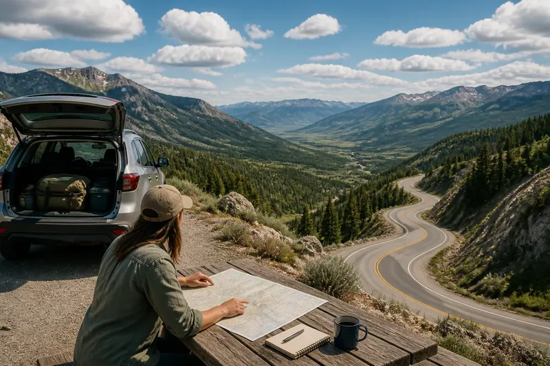
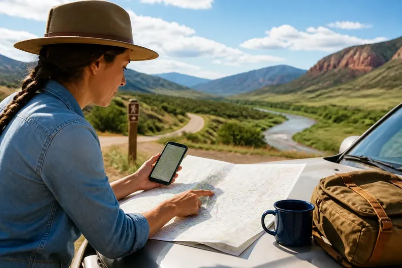
Start with a map that shows both the town and its drainage: a USGS topographic map can help identify streams, washes, elevation, and nearby reservoirs. Then compare it with a municipal map or visitor-center material that identifies canals, dams, wells, or historic sites.
Use the dates and labels cautiously. A historic marker may identify a mill or crossing, while a current trail map emphasizes recreation. Those sources answer different questions; together, they can help distinguish an early water source from later public works.
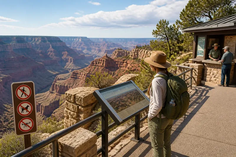
On the ground, focus on the infrastructure’s function rather than treating every visible feature as a clue to the town’s origin. A concrete channel may be for flood control, a ditch may still irrigate nearby land, and a reservoir may serve a region beyond the town. Signs, public maps, and the location of connected fields or neighborhoods can clarify the likely role.
Choose a route around the question you want answered
A short visit does not need to trace every water feature. Choose a route that matches your question and stays on public streets, marked paths, or designated viewpoints.
- If a bridge or ford is your focus, check whether older streets converge there; if they do, follow the public route toward the crossing, and if they do not, look for another historic crossing or town center.
- If a spring is your focus, check for a public marker, mapped source, or historic pump; if one identifies the source, visit the public site, and if none does, use a visitor map rather than searching private property.
- If a canal or acequia is your focus, check for signs of public access and whether the route serves fields or neighborhoods; if access is marked, follow the designated path, and if it is restricted or unclear, view it from a public road.
- If a reservoir is your focus, check whether local information describes it as a water-supply or recreation feature; if it is a later project, treat it as part of the town’s development rather than its founding story, and if the date is unclear, avoid drawing conclusions about origins.
- If a seasonal wash is your focus, check public maps and posted warnings before approaching; if a marked overlook is available, use it to see the channel, and if access is unmarked or conditions are uncertain, stay on established public routes.
- If your time is limited, check which water feature is closest to the main street and publicly accessible; if it is easy to reach, compare it with the street layout, and if it is not, use a local map or interpretive display instead.
A map and a short walk can narrow the explanation
Say you arrive in an invented foothill town with a creek beside its main street, a canal mapped beyond the older blocks, and a reservoir marked as a regional facility. You check a topographic map, read a public sign at the bridge, and walk from the main street to the marked canal viewpoint, staying on public paths.
The sign identifies the bridge as an early crossing, while the map shows the canal serving fields beyond town and the reservoir farther upstream. The likely answer is that the crossing helped organize the original settlement, the canal later supported agriculture, and the reservoir belongs to a broader water system; the tradeoff is that this brief route cannot establish every detail of local history.
Which waterway clues answer common travel questions?
How can I tell if a river crossing helped a town grow?
Look for an older bridge or ford and roads that converge on it, then check a local historical marker or map for dates and context. A convenient crossing suggests a reason for settlement, but it does not by itself establish the town’s full origin story.
What does an irrigation ditch reveal about a town?
A ditch or acequia shows how water was distributed to land or neighborhoods, particularly where rainfall is limited. Check public signs or local maps to learn whether it is historic, active, or both, and do not enter working or restricted areas.
Does a reservoir explain why a town was founded?
Not necessarily: reservoirs are often built to store or manage water for communities that already exist. Compare local histories or dated public information with the town’s earlier mapped features before connecting the reservoir to its founding.
What can a dry wash tell me?
A dry wash marks a channel that can carry runoff even when no water is visible. Use a public map and heed posted access or weather warnings; its dry appearance is not a reason to enter the channel.
Keep local history separate from what the landscape suggests
Water features can point toward plausible explanations, but streets and channels do not settle questions about land ownership, water rights, or engineering decisions. Those histories are locally specific, and a town archive, museum, or qualified local historian is a better source when the details matter.
It is not worth trying to reconstruct every water dispute during a short visit. For a traveler asking why Western towns gather along waterways, a useful answer is often narrower: identify the original source or crossing, distinguish it from later infrastructure, and note what role each feature appears to serve today.
Before you leave, check whether the water you saw flows naturally or reaches town through a built system. That distinction can change how you understand the settlement’s location—and where to look for its next chapter.